Reactscape device:space
Site : 0.003 {inventory}
Process
In groups of two you will embark on a site inventory. Each group will create a photo inventory that will combine site photography with diagrams created in Adobe Illustrator. The diagrams should explain the site features, context and other pertinent technical data for each inventory item.
Topography
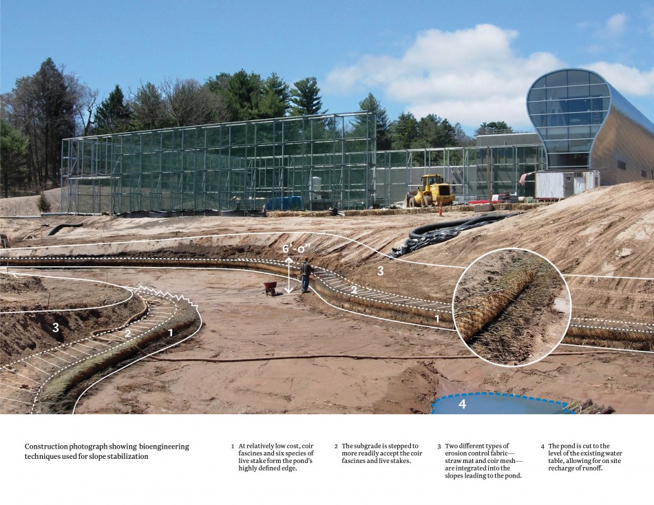
Document the topography by observing slopes within the landscape at specific intervals between 5% and 35%. Once identified the group will photograph the slope in context with an appropriate scale marker. The marker may be a stake and string, poles or another appropriate device that is consistent across all documented slopes. Identify any other topographic features that may be of importance.
Vegetation
Identify the site vegetation by identifying specimens and their formal characteristics in the landscape. This can be illustrated as both above and below ground relationships and formal studies. The diagrams should focus on the physical and formal attributes of plant material as well as looking at plant communities.
Architecture
Document the character and scale of the surrounding architecture. This can be accomplished through scale references within the photography and measures within the landscape.
Materials
Document materials within the site. Specifically focus on material textures, modules, and relationships (asphalt/concrete, grass/gravel, etc) as three distinct methods of documentation.
Deliverables
- Letter (8.5” x 11”) size sheets @ 200dpi with a consistent orientation
- PDF files of sheets placed on server
